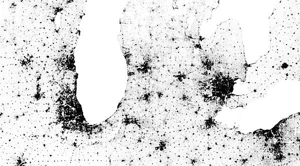
 Cue dropping of jaw. Clever geek takes US census data and renders it to a online map where each dot (341,817,095 in total) is a single person. Keep on zooming in and grey splotches and stipples gradually break down into tiny irreducible dots. The concentrations of said dots/people subtly reveal the presence of roads, mountains, rivers, rainfall patterns, soil types and more. Really amazing, and leaving one wishing for a whole world version.
PO Box 72
Eltham
+61 412 622 138
design + layout + print solutions + ebooks
